
City planners, or urban planners, often face problems when they carry out their work. These problems can occur after they have developed the first ideas for a neighbourhood or city. Some examples of such problems are: (i) Private ownership interfering with planning of urban areas, (ii) lack of regulations and (iii) irregularity of environments.
Technology
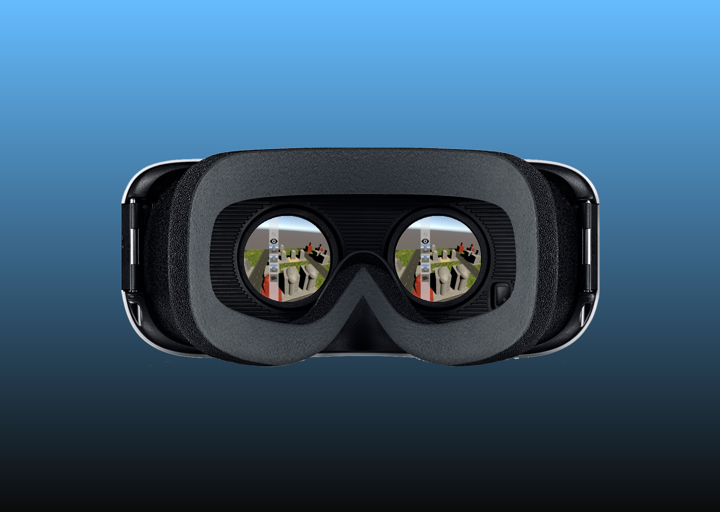
To solve these problems and take advantage of these opportunities, we propose a novel software solution to visualize information about neighborhoods, cities and environments, as well as simulate those spaces. Our solution offers a virtual reality environment to enable collaborative planning of smart cities and systems. This system combines several key features:
- A multi-layered map to visualize, superimpose and manipulate data
- Visualization of various types of data (e.g. energy consumption, pollution, maintenance, population density, traffic flow)
- Real-time collaboration between stakeholders in disparate environments, including urban planners, architects, engineers, managers, property owners and clients
- Manipulation of these virtual worlds through virtual reality support
Smart Cities

We used the concept of Smart Cities as a guideline to determine the value of city planning. Kontinakis and De Cunto (2015) state that a Smart Cities has these aims:
- Improvement of quality of life
- Better services from the city to the citizens
- City contains the creation of competent and innovative high skilled jobs.
We devised a collection of Key Performance Indicators (KPIs) inherent in the application to show the user whether or not their city plan was “Smart”. The KPIs focused on social and environmental sustainability. Once the user would start placing infrastructure in their plan, the application would give feedback on whether or not the KPIs were met.
Prototype

We developed a first prototype which can be used by various stakeholders in disparate locations to design a sustainable city from scratch, as well as to integrate new buildings and neighbourhoods into existing models. For this, stakeholders can use a virtual reality application, a 2D editor or just a simple text editor.